Disaster Workbench
Status: deploying. The Disaster workbench is in final deployment with early partners. This article is a summary of the capability set; the full manual lands here as the workbench ships.
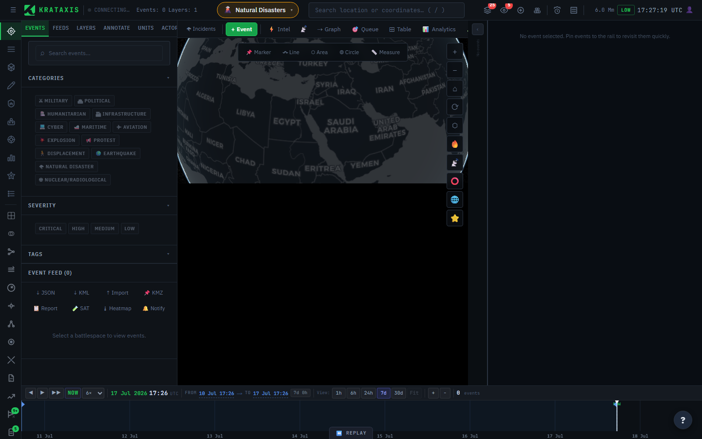
The Disaster workbench is the same fusion engine you already know, pointed at a different kind of crisis. Where the Conflict workbench asks "who did what to whom," disaster response asks "what happened, how far does it reach, and how do we get help in" — so the workbench keeps the shared machinery and swaps the specialised tools to match.
It applies the platform's evidence discipline to humanitarian assistance and disaster response. It builds a disaster's timeline and physical extents — impact hulls, flood and fire polygons — from GDACS alerts fused with a constructed GDELT scope covering humanitarian response, aid provision, and displacement. Ingress and egress planning covers ground, maritime, and air options, and replans as the picture changes. Every capability inherits the same credibility grading as the rest of the platform: what is confirmed, what is corroborated, and what the next crew in can actually rely on. That last distinction is not academic when a route marked "open" decides whether a convoy sets out — which is exactly why the same grading that weights a conflict claim also weights a field report here.
Field reporting closes the loop. When a crew flags a route — destroyed, blocked, blocked-but-workable, or open — that observation updates the shared route network and reroutes the teams behind them, with full provenance on who reported what and when. A SAR module turns a last-known position into a drift-modelled, ordered waypoint list. SAR tooling is decision support for trained coordinators — it augments established search-and-rescue doctrine and authority procedures, it does not replace them.
Register interest
Relief organisations, rescue services, and HADR planners can register interest now — early access is granted case-by-case at no cost to relief and rescue organisations, and early partners shape the toolset.